Introduction
Experienced drivers who frequently drive in urban areas are familiar with which roads tend to get congested and where traffic accidents often occur, such as around schools during rush hours and near shopping centers on weekends. Generally, drivers will choose to avoid these areas to ensure they arrive at their destination safely and on time.
Recently, Ford Europe (hereinafter referred to as “Ford”) announced its “ROADSAFE” technology solution, which can proactively alert drivers to high congestion and accident-prone areas. Additionally, in offline mode, it can provide data and analysis results to local transportation departments to support continuous improvements in road and infrastructure.
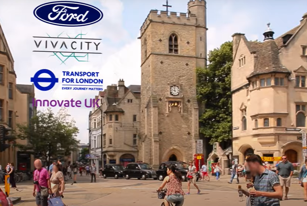
The “ROADSAFE” digital tool is the result of four years of research by Ford. The 20-month project was government-funded and jointly developed by Oxford County Council, Loughborough University, and artificial intelligence sensor expert Vivacity Labs.
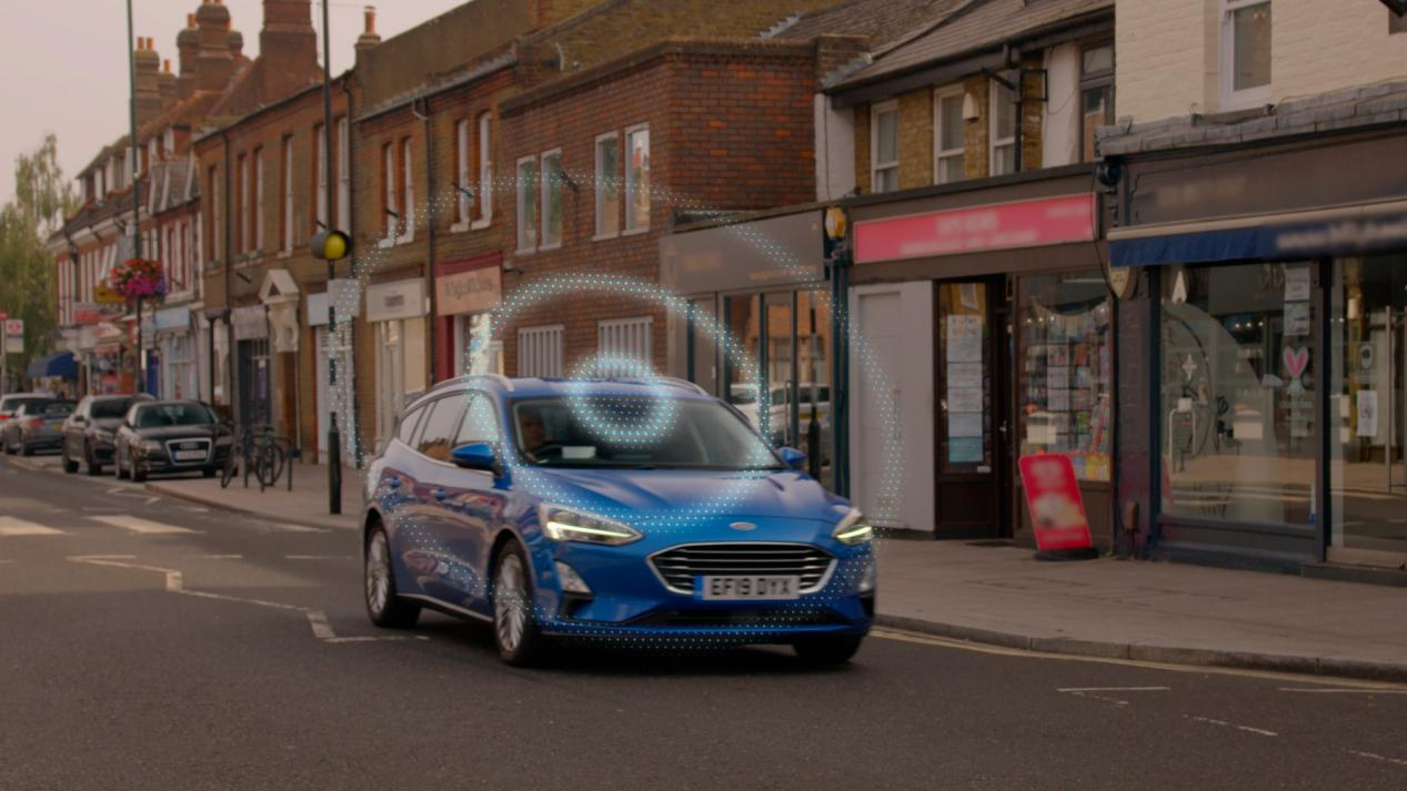
Ford’s “ROADSAFE” technology uses newly developed intelligent algorithms to process anonymous data from sources such as smart connected vehicles, road testing sensing devices, and accident reports to determine where traffic accidents are more likely to occur. Then, this information is displayed on a map to identify risk levels. Using GPS positioning, when the driver enters these accident-prone areas, the system can provide warning messages. The digital tool aims to improve road safety by using data and complex algorithms. Currently, this technology is being tested on more than 200 cars in Oxford County and London, UK.
Details
Ford City Insights project leader Jon Scott said, “Every city has areas where the probability of accidents is relatively higher, whether it’s due to poorly positioned road signs, unrepaired road damage, or overcrowded intersections. Now, Ford can accurately locate these areas so that drivers can be aware of these special road sections in advance, and local transportation departments can use this data and analysis results to help improve roads and infrastructure.”
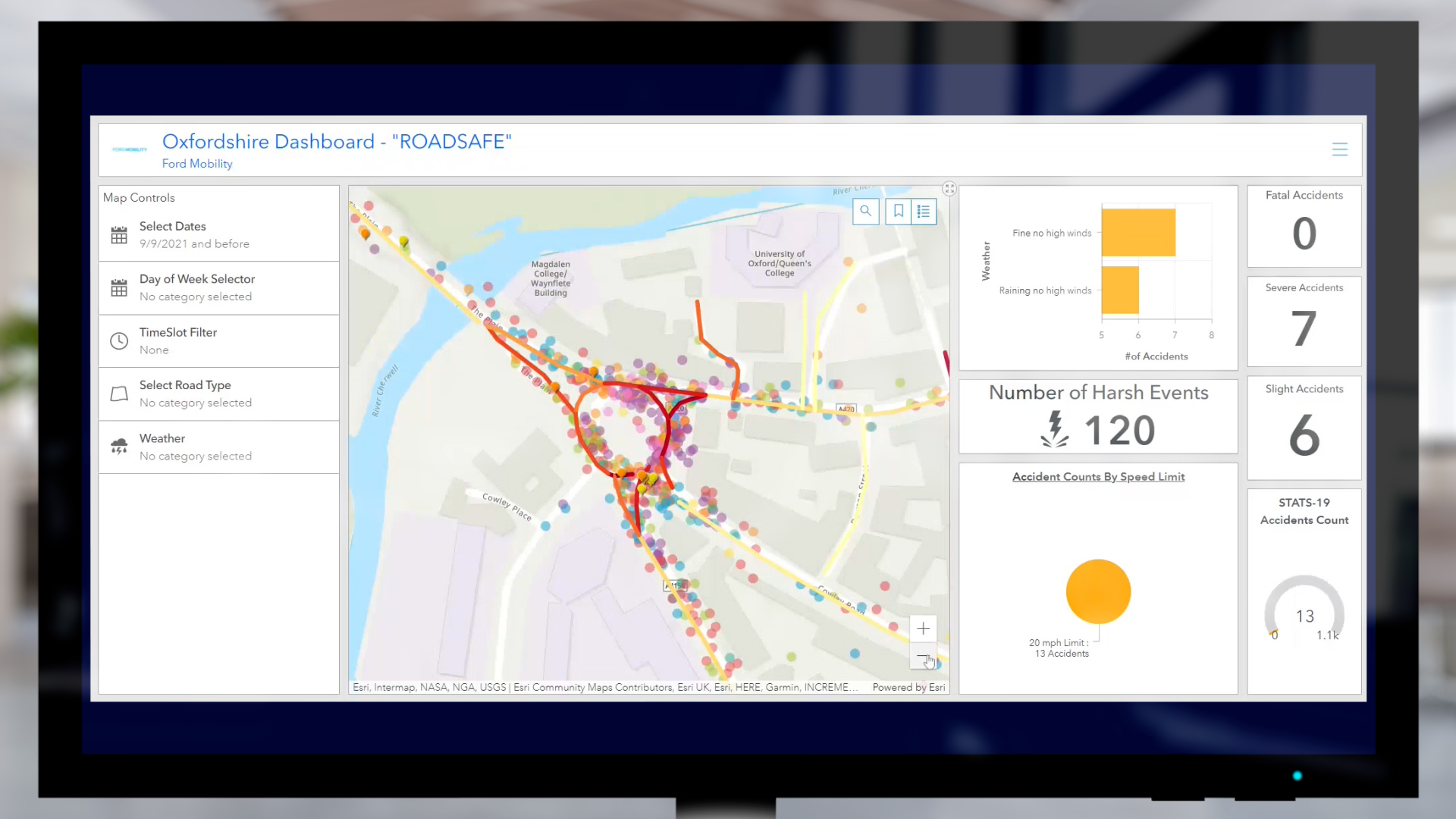
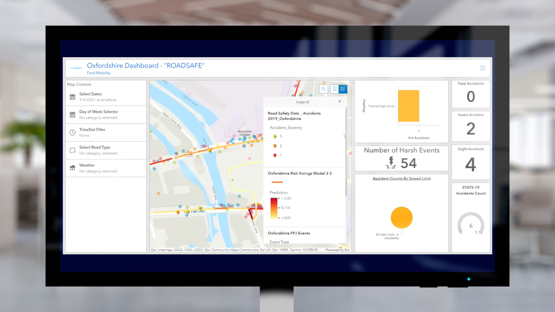
 The study first analyzed the data collected in the Greater London area, identified the hotspots of road safety hazards, and analyzed possible causes and solutions. In the past 15 months, this study has been extended to Oxfordshire. Over 200 buses and commercial vehicles voluntarily joined the project in London and Oxfordshire, providing vehicle driving data. Based on all the data, the team produced the “Road Segment Risk Rating Heat Map”, which identifies key road sections with safety hazards.
This heat map integrates multi-level content, including historical traffic accident data and a “Road Risk Prediction” rating algorithm. The algorithm requires a series of road section data as input, and then uses advanced data analysis techniques to obtain risk prediction results. The “Road Segment Risk Prediction” rating system uses different colors to indicate the probability of accidents at a certain location, with red indicating the highest risk level and yellow the lowest.

To obtain this data, intelligent connected vehicles need to record vehicle data under different driving actions, including braking, steering, and acceleration, such as vehicle body angle, vehicle speed, and acceleration. At the same time, the road test sensing unit needs to track and record the motion characteristics of traffic participants from different perspectives under different motion modes. All data collected by sensors are anonymized and the original video materials are discarded to obtain data without violating personal privacy.
These sensors use machine learning algorithms to identify scenarios where traffic accidents occur almost (i.e. “almost” occurred), and analyze the motion patterns (features) of VRUs (vulnerable road users such as cyclists and pedestrians) and other unconnected vehicles in these scenarios.

Utility
Combining self-vehicle and road-test sensor data helps identify a variety of hazards, such as:
- Vehicles passing too close to cyclists;
- Congestion caused by improperly located bus stops;
- Poorly designed infrastructure such as roundabouts and intersections, causing traffic congestion and hazards.For enterprises and fleets, the “Road Safety” algorithm can be used to optimize drivers’ routes to avoid specific problem areas or issue warnings when drivers enter dangerous areas, reducing potential downtime caused by accidents. “Road Safety” is widely applicable and easy to expand in areas from large cities to small towns. When this technology is deployed on a large scale, it will help reduce accident rates.
In the future, this technology can also benefit passengers riding in autonomous vehicles. Combining the vehicle’s sensors with digital tools can help them predict danger earlier and adjust operations accordingly.
Postscript
Compared with the currently popular vehicle-road cooperation or data-driven AD/ADAS research directions in China, Ford’s “Road Safety” technology emphasizes the combination of vehicle motion pattern data (i.e., individual vehicle behavior data, braking, turning, and acceleration) and road traffic flow data (i.e., interactions between individual vehicles and other road participants) for analysis and modeling. The results of data analysis are used to generate “segment risk rating heat maps,” which can provide warning and advice information to drivers and more reasonable traffic road layout suggestions to local traffic managers.

In the past, traditional road design was based on economic, safety, and societal convenience considerations, using design specifications and past experience as guidelines for road design and construction. However, there is no very good “feedback mechanism” to verify whether the design is most reasonable and optimal. Ford’s technological direction also provides a new idea for our road construction: to view the car and the road as an organic whole. In this system, the status of road participants and the state of the road can be measured in real-time through sensors on the road and on the car, and potential risks and congested road sections can be recognized through data analysis in the background. In turn, improvement and optimization schemes can be provided for road design, designing a road that understands “cars.”
This article is a translation by ChatGPT of a Chinese report from 42HOW. If you have any questions about it, please email bd@42how.com.
